Interactive mapping · Local authorities & municipalities
ownMap for local authorities and municipalities
Cemeteries, public buildings, community fairs and municipal events : ownMap gives residents clear, app-free wayfinding, and your staff a simple management tool, hosted in France and GDPR-compliant.
Use case
Visiting the cemetery, without paper records or a call to the front desk.
Cemeteries
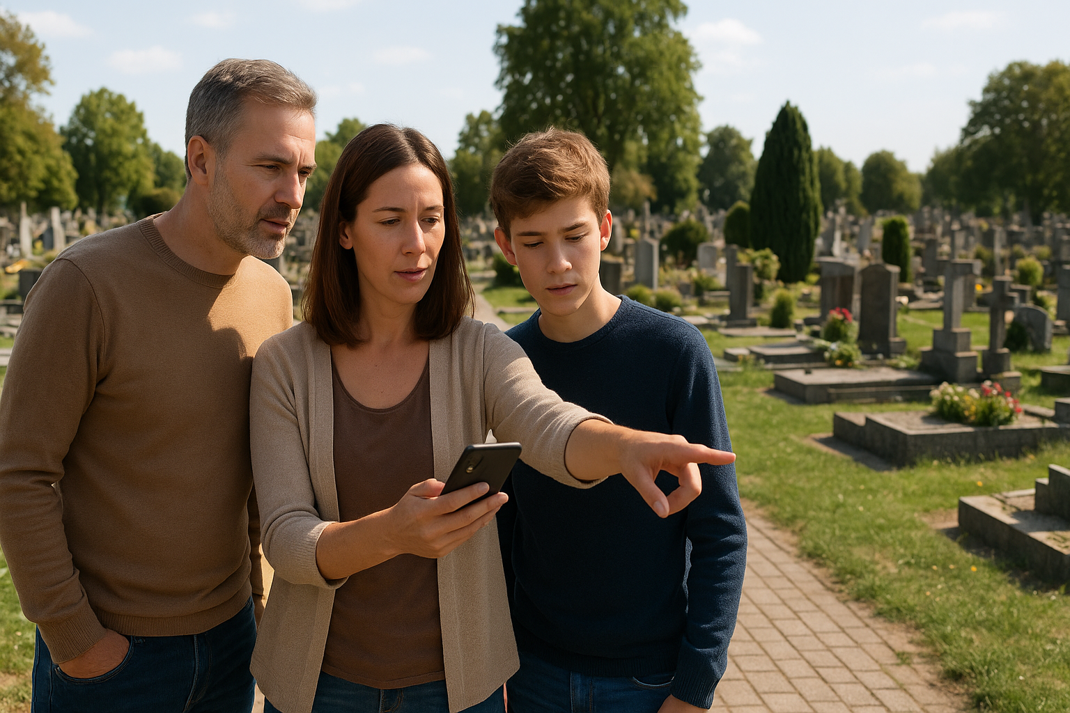
Finding a grave plot in a municipal cemetery is often an ordeal, especially for grieving families or elderly visitors. ownMap replaces paper registers and plans posted at the entrance with an interactive map accessible via QR code, on a smartphone or kiosk. Civil registry staff manage plots, divisions and monuments independently, with no need for an external provider.
Before / after
| Criteria | Current process | With ownMap |
|---|---|---|
| Finding a grave plot | Visitors wander through the rows or ask staff at the front desk, often closed on weekends. | Search by the deceased’s name or plot number, route displayed within seconds. |
| Updating the map | Paper registers, outdated plans, slow manual corrections. | Update plot locations and divisions in a few clicks, with no technical intervention. |
| Accessibility | No accessible routes signposted, difficult for visitors with reduced mobility or elderly visitors. | Accessible routes clearly identified, with voice guidance available. |
| Staff requests | Repeated calls and visits to the registry office to locate a grave. | Visitors find their way independently, freeing staff for higher-value tasks. |
| Heritage value | No information on the site’s history or notable figures. | Enriched entries (history, notable figures, remarkable monuments). |

Use case
Town hall, library, sports centre: one single map for all your buildings.
Public buildings
Town halls, administrative centres, libraries, community centres or sports facilities: ownMap makes it easier for residents to find their way around all of your municipal buildings. Each department gets a clear listing (opening hours, services, contact details), and staff update floor plans and office assignments themselves, with no external provider involved.
Before / after
| Criteria | Current process | With ownMap |
|---|---|---|
| Wayfinding inside buildings | Visitors wander through corridors or interrupt staff to ask for directions. | Search for a department, office or room with the route displayed instantly. |
| Updating room assignments | A department moves or a room changes: physical signage has to be redone. | Update maps and office assignments in a few clicks, with no reprinting needed. |
| Accessibility | Accessible entrances, lifts and restrooms are poorly signposted or not signposted at all. | Accessible routes highlighted, meeting accessibility requirements. |
| Front-desk requests | Queues at the front desk for simple wayfinding requests. | Visitors find their own way, freeing the front desk for complex requests. |
| Multiple buildings | Town hall, library, sports centre: separate maps to manage for each site. | A single multi-building map, consistent across all municipal sites. |
Use case
The community fair, without paper maps or volunteers tied up all day.
Fairs & events
Community association fair, town festival, trade show or open house : ownMap makes it easier for attendees to find their way while simplifying coordination for organisers. The map can be updated right up to the last moment : adding an exhibitor, moving a stall, updating the programme, with no need to reprint anything.


Before / after
| Criteria | Current process | With ownMap |
|---|---|---|
| Visitor flow | Visitors rely on a paper map handed out at the entrance, quickly lost or creased. | Clear interactive map: stalls, stages, refreshments, restrooms, accessible routes, parking. |
| Managing exhibitors | An exhibitor’s spot is locked in as soon as the map is printed, no last-minute changes possible. | Real-time updates to a stall, add an activity, update the programme. |
| Staff requests | Staff and volunteers tied up continuously directing the public. | Visitors find a stall, an association or an activity on their own. |
| Exhibitor visibility | No description available, just a stall number on the map. | A dedicated listing per exhibitor: description, opening hours, contact details, website link. |
| Accessibility | Accessible routes not signposted on the event map. | Accessible routes and key information points highlighted. |
Hosted in France · GDPR-compliant · On-premise available
A town, a group of municipalities ? Let’s talk about your project.
Cemeteries, municipal buildings, events : ownMap adapts to your needs, with 100 % French hosting and an on-premise deployment option for local authorities with specific sovereignty requirements.